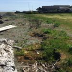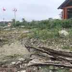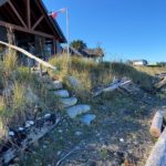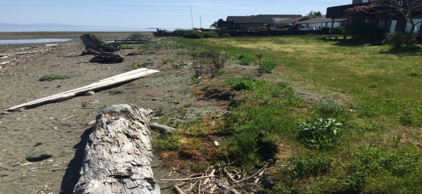
Before
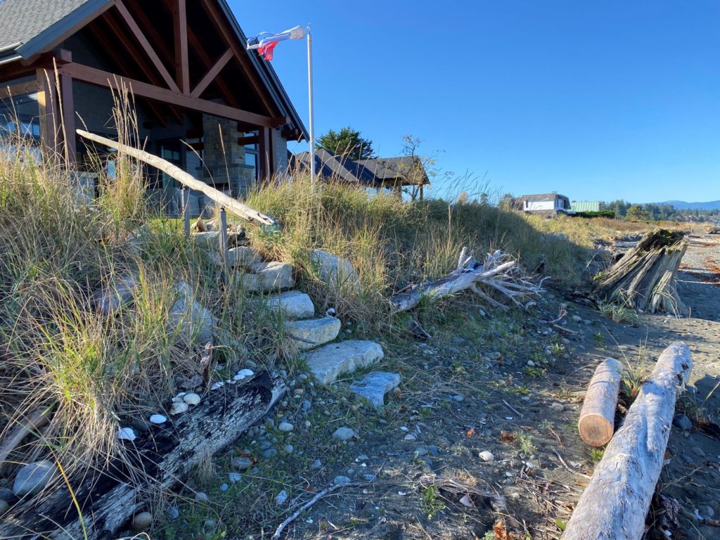
After
Project Overview
| Location: Parksville, BC | Project area: shoreline project |
| Year completed: 2018 | Awards: n/a |
| Shoreline length: 40 m | Shore type: Marine: fine sediment with cobble and boulder substrate |
| Green Shores rating achieved: Chinook (Level 1) | Total points: 21 |
Site Description
The property lies within the Parksville-Qualicum Wildlife Management Area – a designated conservation area for estuarine and foreshore habitat used by waterfowl and fish. The shoreline has a significant intertidal zone and a flat seabed that extends out to the Strait of Georgia. Eelgrass beds lie below the present natural boundary. The low bank beach is gently sloped with cobble to boulder-sized material and is subject to dynamic erosion from both high tide and storm events. Erosion is also impacted by the large wave fetch distance off the Strait of Georgia, and from the consistent prevailing winds.
Project Team and Affiliated Organizations
- Design Build General Contractor: Parksville Heavy Equipment
- Geotechnical Engineer: Lewkowich Engineering Associates Ltd.
- Environmental Management Plan: Aquaparian Environmental Consulting
- Native Plant Supplier: Streamside Native Plants
Project Objectives
- Repair and stabilize the foreshore susceptible to erosion
- Provide beach nourishment, revegetation and habitat protection
Work Plan
- The upper shore was being undercut by erosion. Along the present natural boundary, a buried revetment was created by the placement of large boulders within a dug trench, over which a cap of sand, gravel and some cobble was placed to mimic a coastal dune and to create plantable spots. A one metre wide strip of shoreline shrubs was planted at the top of the slope using native species of dunegrass, entire leaved‑gumweed, beach pea, and seashore lupine. In a backshore area, saskatoon berry, snowberry and dunegrass were also planted.
Description of how the project meets Green Shores principles
> Maintained/ Enhanced Habitat Function and Diversity
- A restoration area of approximately 170 m2 within the riparian buffer was planted with native vegetation. The planting density applied was intended to create 100% coverage within 2-3 years. Other restoration materials included exposed boulders, beach rock and woody material.
- The native species of vegetation described above were planted to fill in with the existing Silver Beachweed on site.
- A small beach access was created on one end of the riparian area using flat rocks and driftwood. This helped to protect shoreline habitat.
> Preserved/Restored Shoreline Physical Processes
- Soft shore measures were applied over approximately 80% of the shoreline length and a plan for monitoring was put into place.
- Large woody material was retained, and new stumps and logs were placed higher on the slope to protect the shore through dissipation of wave energy. Microsites for vegetation re-establishment were also created.
> Ecological Services Provided
- Shoreline stabilization and erosion control.
- Habitat creation and increased infiltration from planted native vegetation.
> Shoreline Collaboration and Public Education
- Some informal discussions with a builder working on an adjacent property were considered, and notices describing the Green Shores for Homes program were planned to be distributed by the contractor to the neighboring properties.

